Our flagship services — seismic project management, low-impact acquisition, and environmental compliance & change detection — sit alongside a full range of supporting capabilities, backed by ClearSeis's Integrated Management System and a seismic-specific Project Management System, anywhere in the world your project is located.
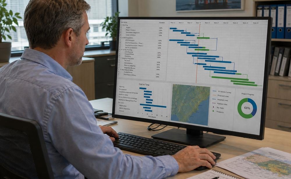
End-to-end project coordination — scope, schedule, cost, quality and risk control — from initiation through close-out.
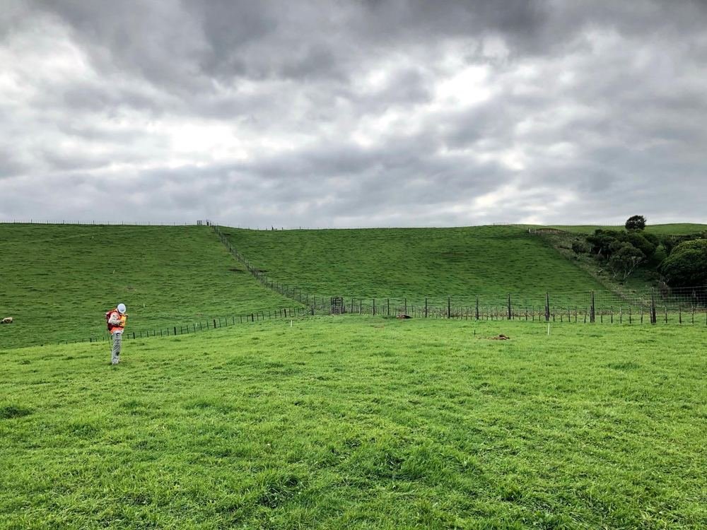
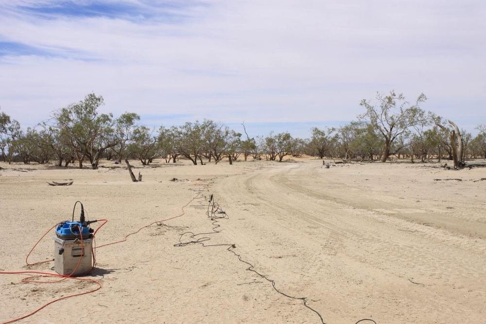
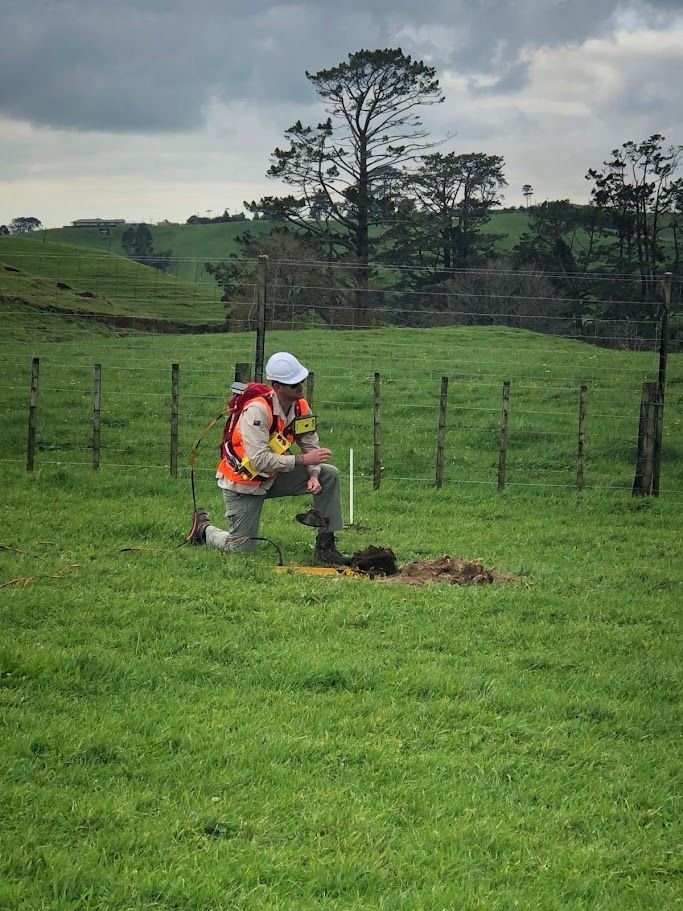
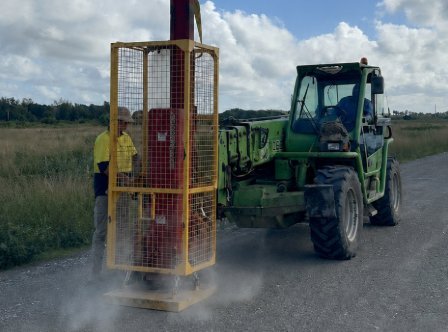
Specialist small-footprint acquisition crew for sensitive, constrained, or community-adjacent environments — reduced disturbance without compromising data quality.
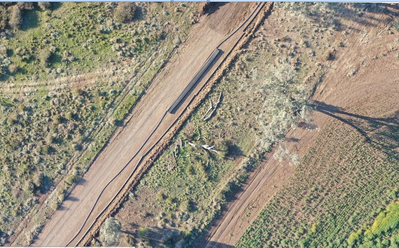
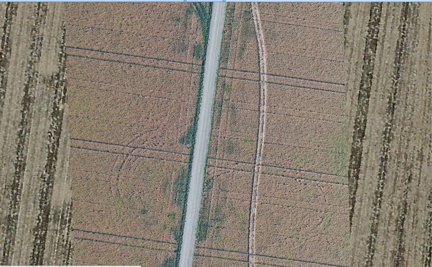
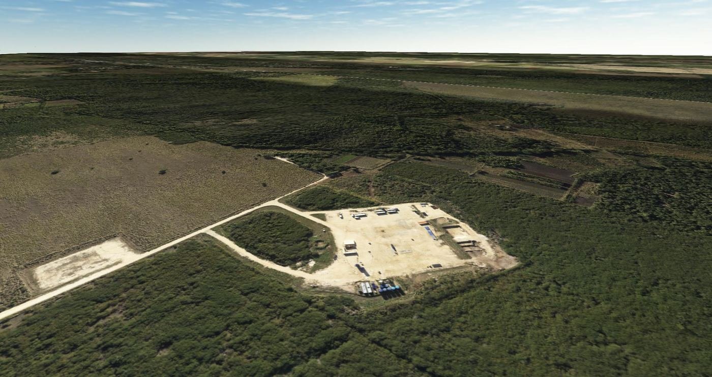
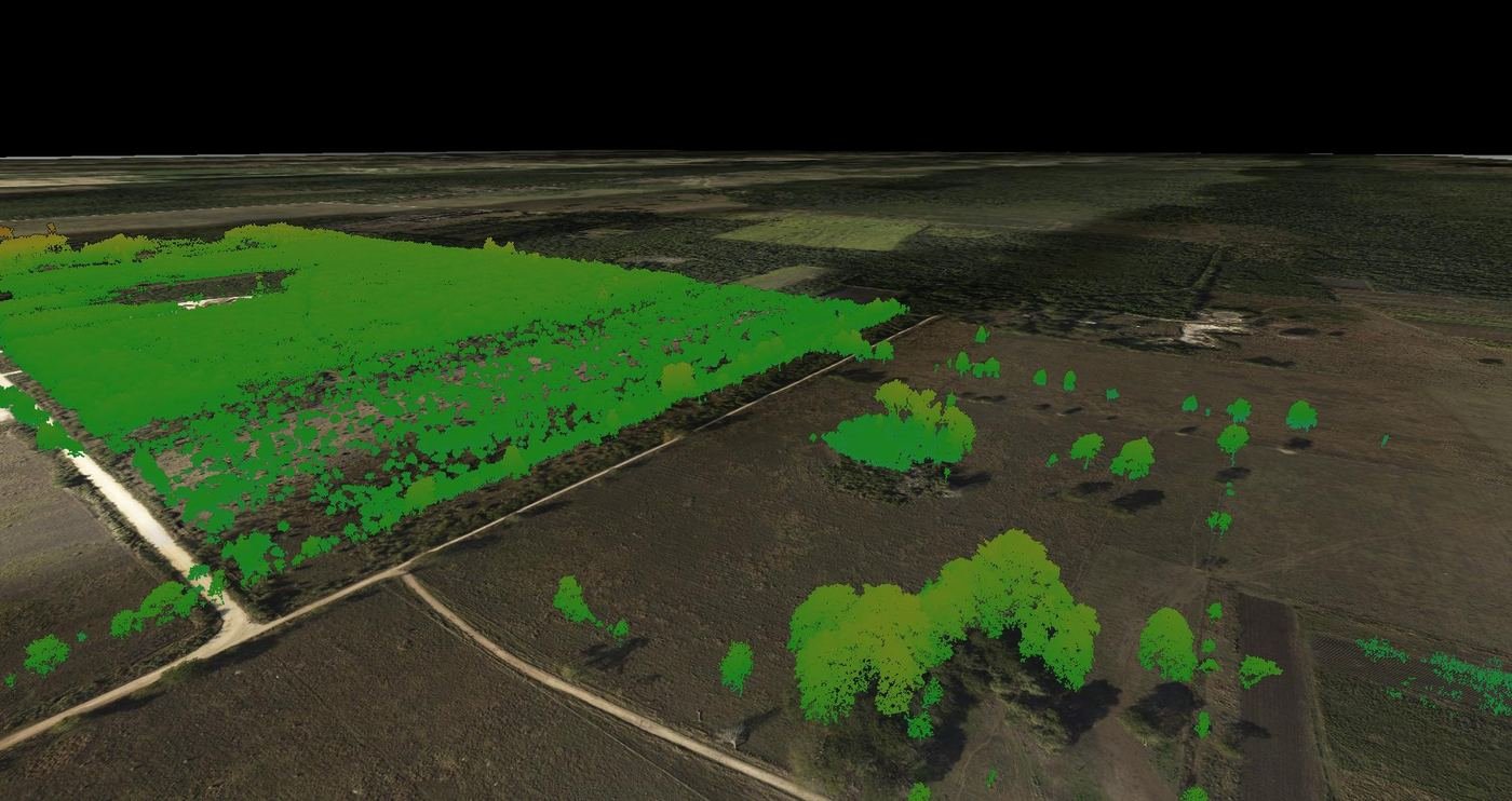
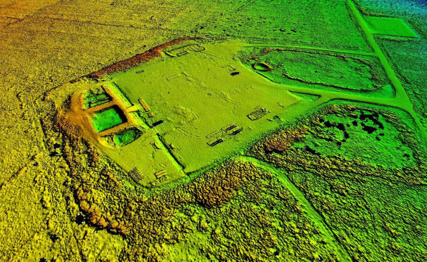
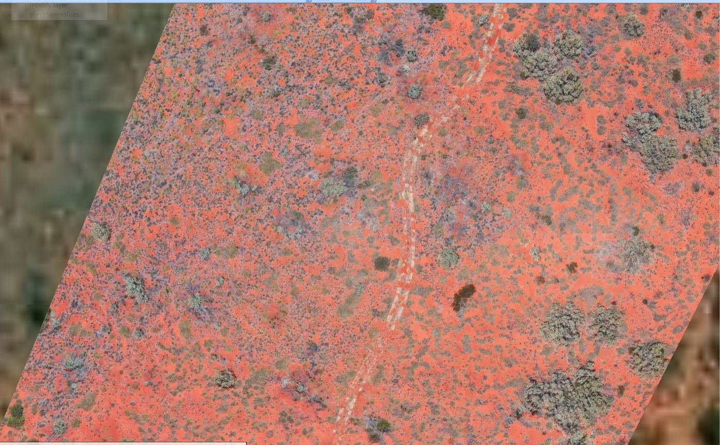
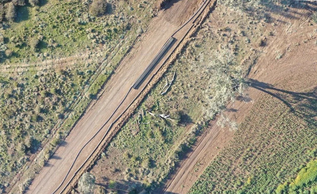
Repeatable drone-based environmental monitoring and GIS change detection — objective, defensible evidence of site conditions before, during and after field operations, supporting approvals, stakeholder reporting, and rehabilitation close-out.
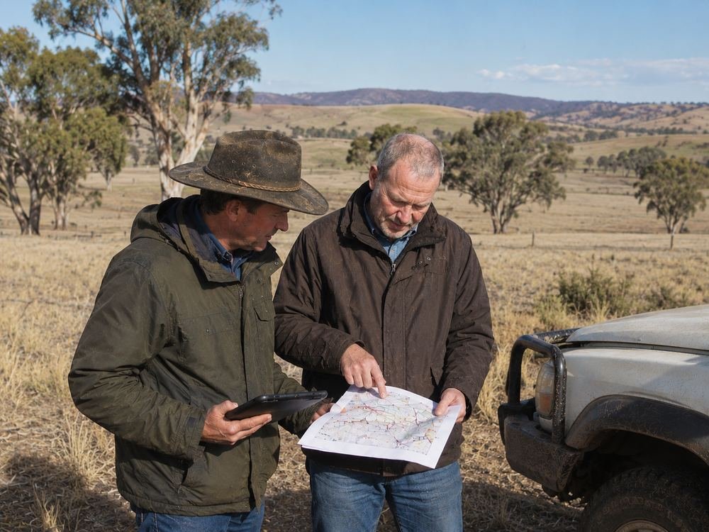
Landholder negotiation, municipal and regulator liaison, public communication, and grievance management, tracked through to close-out.
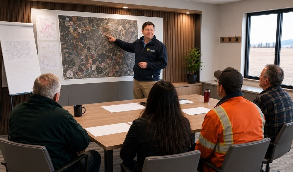
Regulatory strategy, environmental and cultural heritage assessment, permit applications, and ongoing compliance management — run against jurisdiction-specific procedures within our own management system.
Tender preparation, contractor bid evaluation, contract negotiation, and vendor performance management.
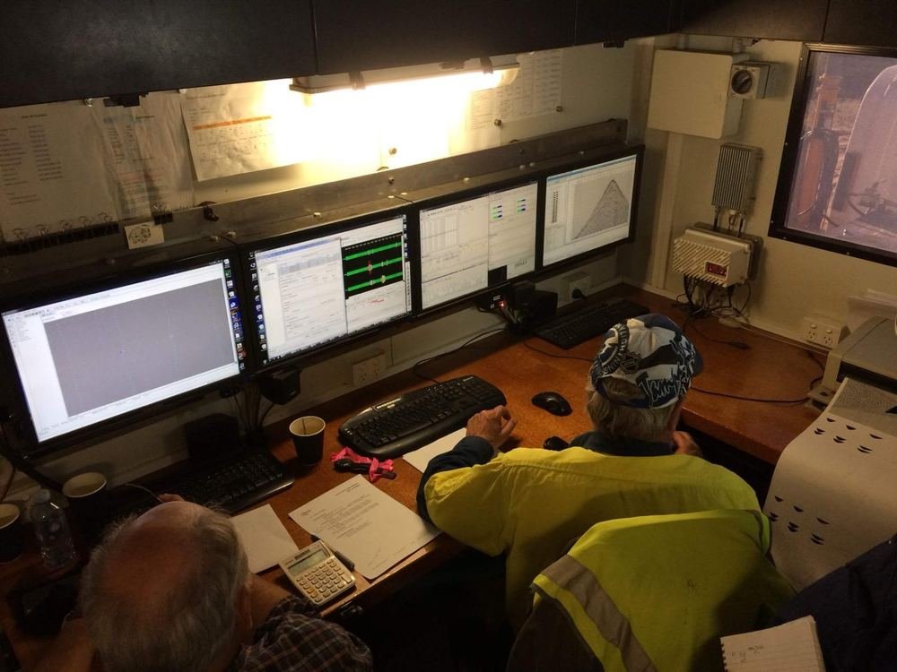
2D/3D acquisition design, QA/QC protocols, and technical field guidance across vibroseis, weight-drop, dynamite, transition zone, OBN and marine streamer methods.
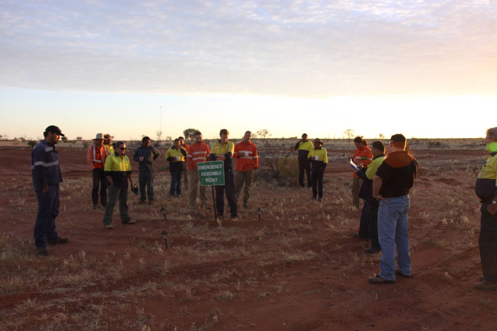
HSE management plans, field auditing, incident investigation, and environmental monitoring — documented and auditable at every step.
Pre-mobilisation gap analysis, logistics coordination, and stakeholder/regulatory readiness checks before field start.
End-to-end coordination of scope, schedule, cost, quality and risk — from initiation through to close-out — run through ClearSeis's own Seismic Management System, wherever your project is located.
A specialist small-footprint acquisition crew for sensitive, constrained, or community-adjacent environments — delivering full data quality with reduced ground disturbance, mobilised as part of ClearSeis's own acquisition capability.
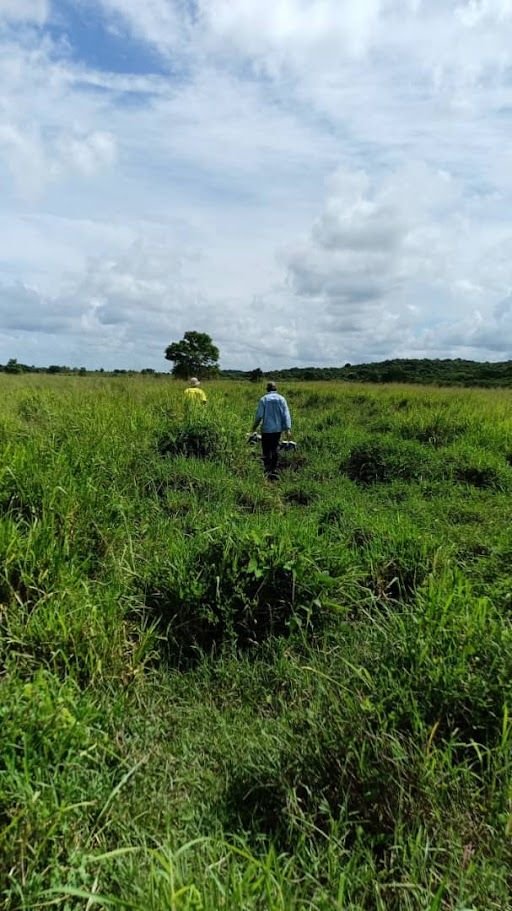
Repeatable drone-based environmental monitoring and spatial analysis, giving clients objective evidence of site conditions before, during, and after field operations. Automated repeat-flight missions capture consistent orthomosaics for accurate comparison over time — a defensible visual record supporting environmental approvals, stakeholder engagement, and project close-out.
On any given project, ClearSeis can sit on either side of this line — or both.
We plan the survey, secure approvals, manage landholder relationships, and oversee delivery — from first feasibility study to final close-out.
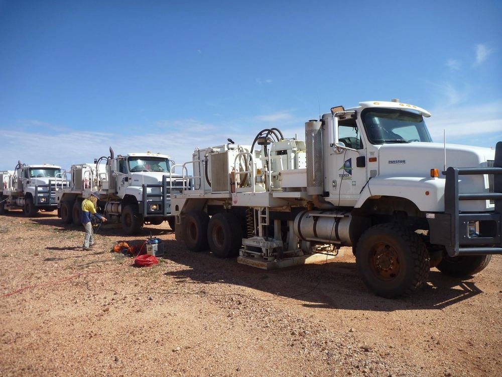
Vibroseis trucks, weight-drop or dynamite sources, receiver deployment and recording — delivered by our own specialist acquisition crew, or by a contractor we work alongside.
Explore how our specialist services can deliver operational clarity, regulatory confidence, and project success for your programme.
Request a Consultation