
Selected projects
Experience across the seismic programme.
Our project experience covers client-side supervision, project management, acquisition delivery and technical review. These examples show the role undertaken and the practical requirements of each programme.
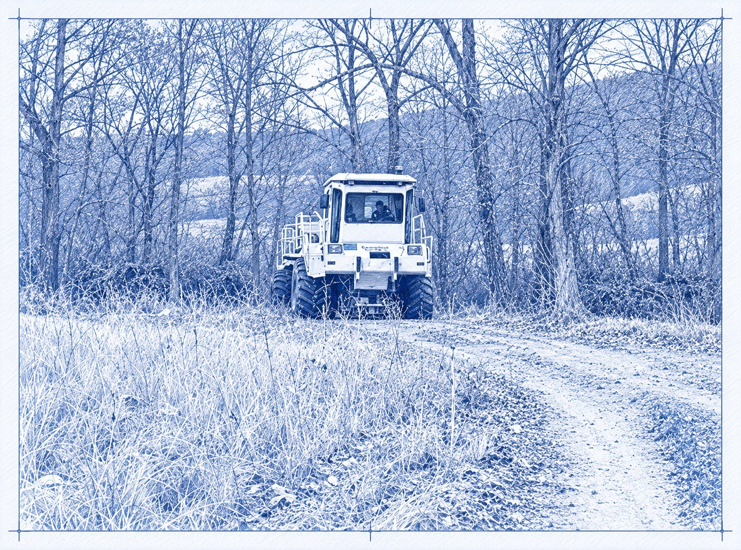
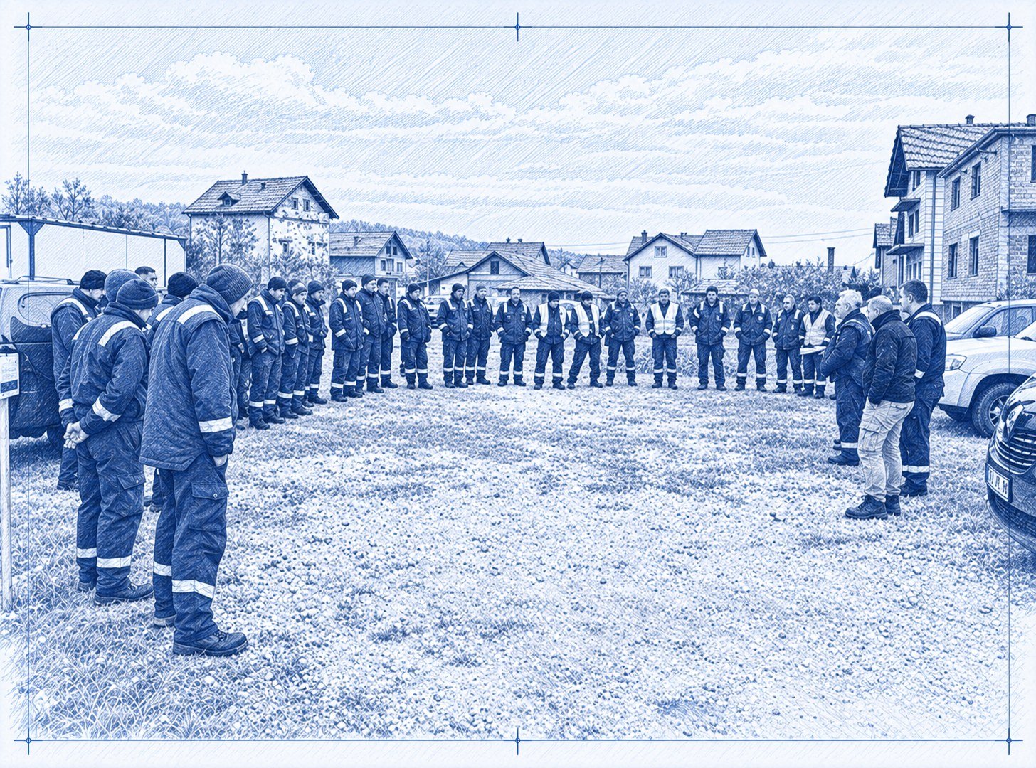
Mineral exploration seismic — Serbia
- Objective
- First seismic over the permits, imaging to 1,500 m for copper-gold exploration in the Timok Magmatic Complex
- Scale
- Four crooked-line vibroseis profiles recorded with wireless nodes
- Our role
- Field Supervision of a 56km 2D survey
- Constraints
- Narrow roads through villages and snow-affected access
- Outcome
- Completed with no damage or complaints
- Deliverables
- Sweep tests, daily vibrator and data QC, production tracking, daily and final reports
Reduced drive levels near dwellings avoided skipped source points.
Gas exploration seismic — Australia
- Objective
- 2D seismic for gas exploration
- Scale
- Approximately 124 km of recorded 2D seismic, nodal receivers and vibroseis sources
- Our role
- Project management
- Constraints
- Cropping and grazing activity, road interfaces and property-specific biosecurity requirements
- Deliverables
- Pre-production parameter testing, contractor interface management, field reporting and close-out
Delivery across agricultural properties was planned around landholder activity, with testing completed before production started.


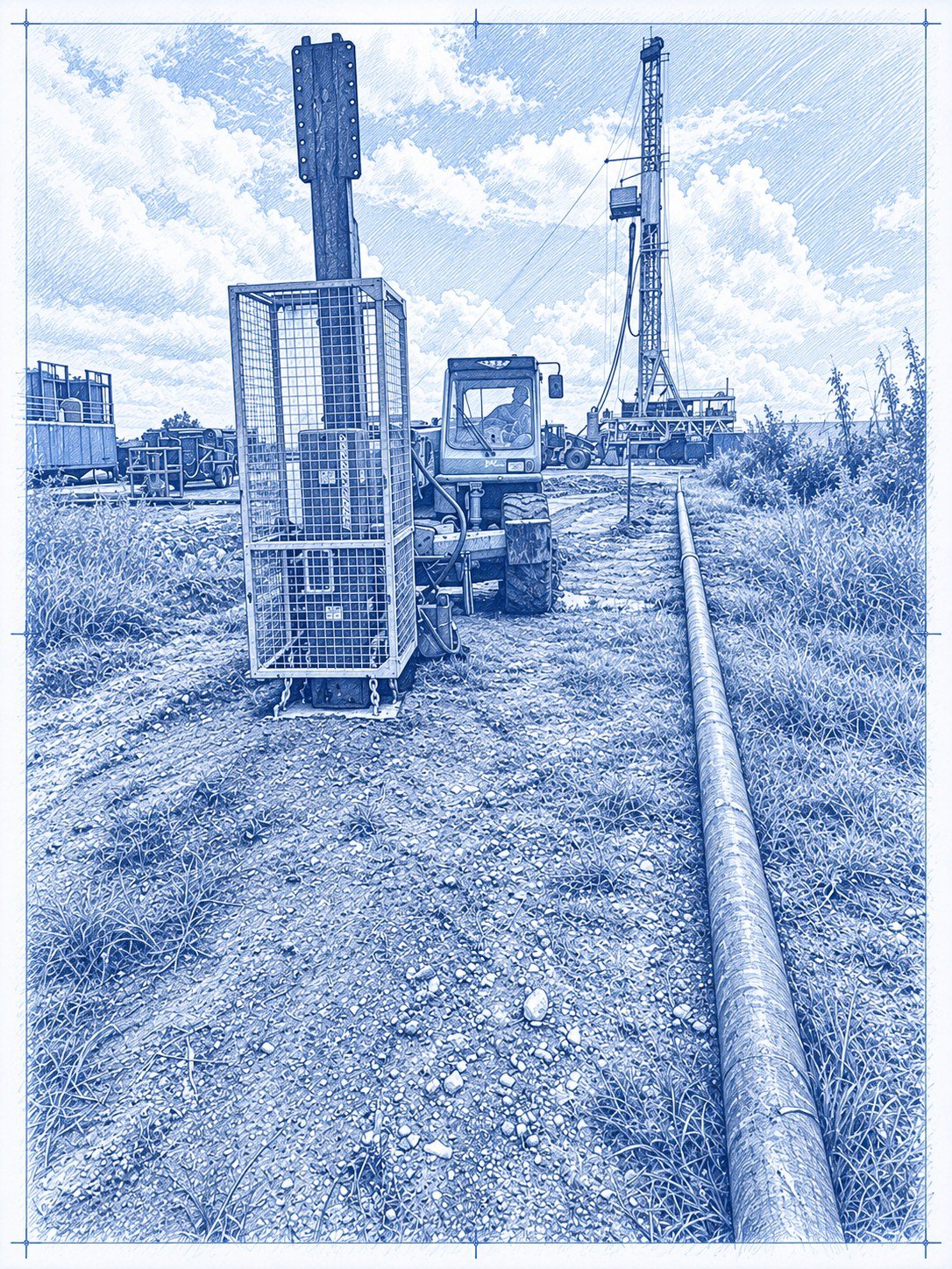
Shallow geohazard investigation — Caribbean
- Objective
- Improve understanding of near-surface geology to support drilling planning
- Scale
- Approximately 19.5 km across eight 2D profiles
- Our role
- Project management and acquisition delivery
- Outcome
- Fieldwork, data harvesting and crew demobilisation completed in November 2025
ClearSeis managed and delivered the shallow 2D programme, combining overall project management with acquisition.
High-resolution 2D seismic — South Africa
- Objective
- High-resolution 2D seismic imaging for helium exploration
- Scale
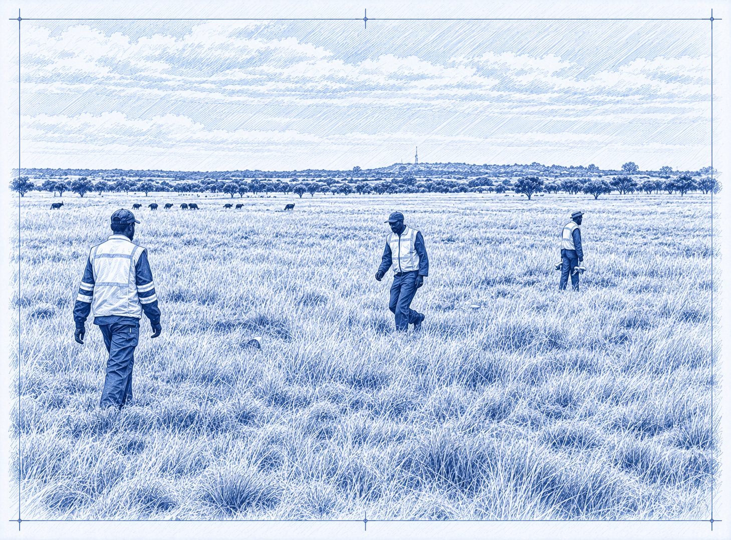
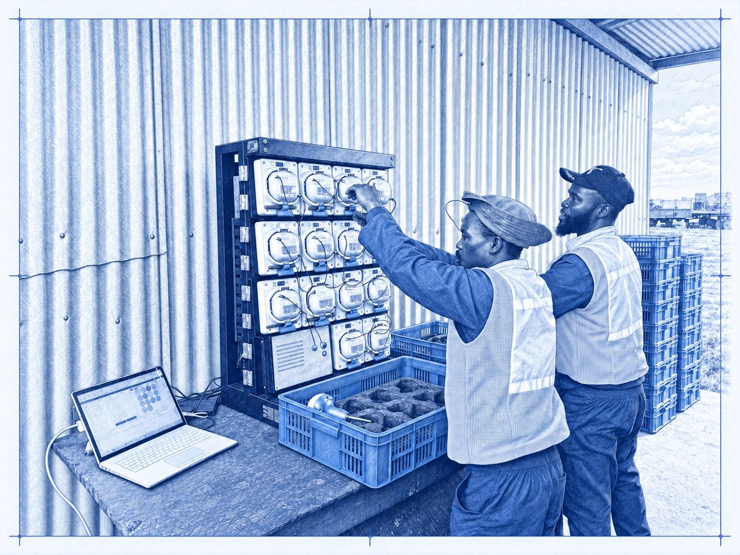
- 29.9 km of high-resolution 2D seismic; autonomous nodal receivers and a tractor-mounted weight-drop source
- Our role
- Acquisition delivery
- Constraints
- Crop access, wet ground and ecological exclusions across agricultural terrain
- Deliverables
- Acquired dataset and acquisition report
Receivers were hand-carried, with survey segments and source positions adapted to the permitted working areas.
Legacy data and source review — New Zealand
- Objective
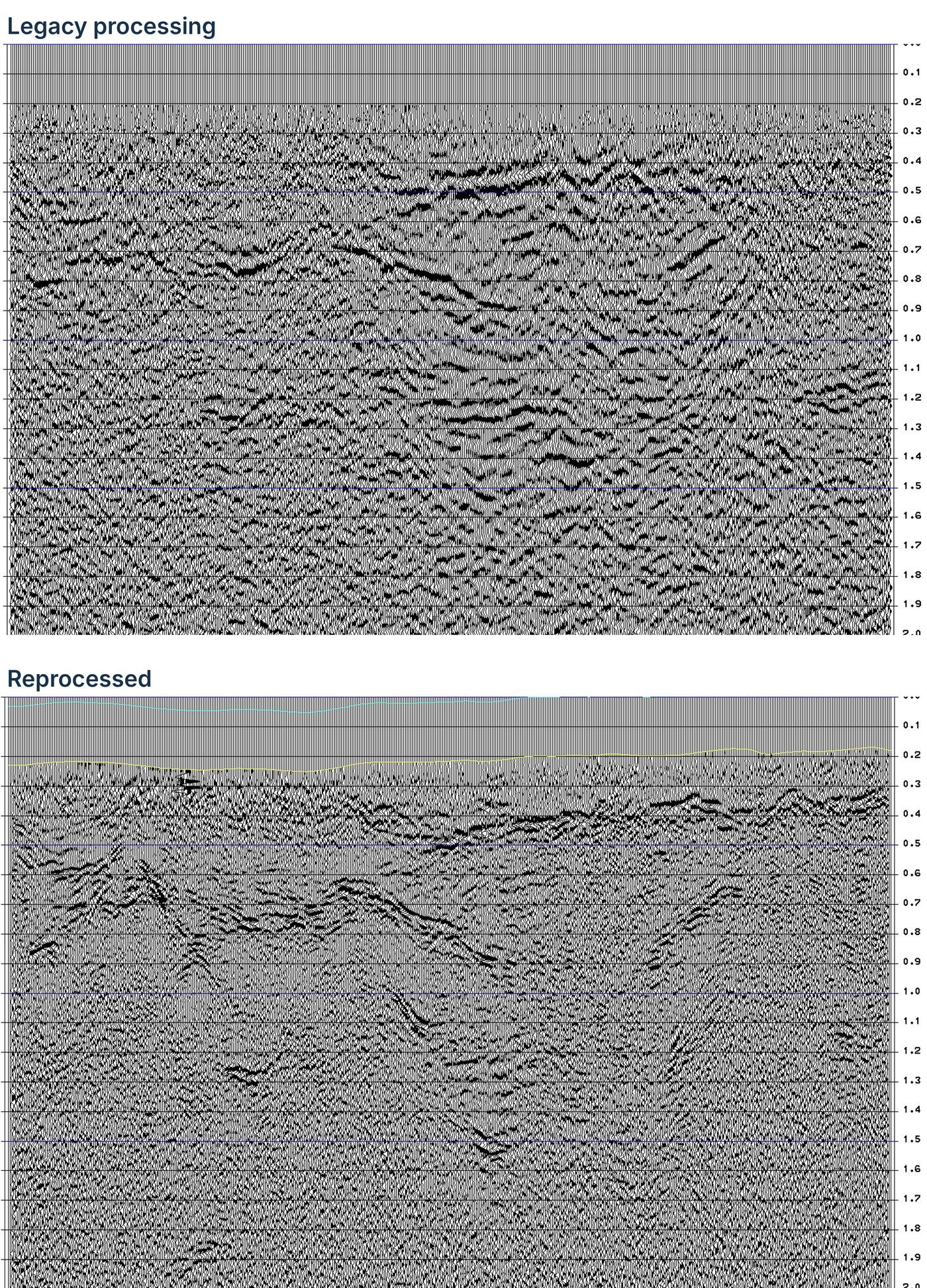
- Review legacy seismic to select an effective source for the upcoming programme, test whether reprocessing could improve data quality, and assess how the basin geology affects seismic imaging
- Scale
- Three legacy 2D vintages (1978, 1984 and 1987) acquired with two vibroseis source sizes and shallow dynamite; selected lines reprocessed to post-stack time migration
- Our role
- Legacy data review, reprocessing assessment and source recommendation
- Constraints
- Steeply dipping, tightly folded geology with out-of-plane reflections and a target near 3,000 m
- Findings
- A properly acquired 2D programme, integrated with existing mapping and surface geology, would constrain subsurface geometry, but the complex, steeply dipping structure is best resolved in 3D. A 2D programme alone risked leaving reservoir and trap uncertainty largely unresolved; a properly acquired, processed and migrated 3D survey would constrain structure far more reliably for drilling or farm-out
- Deliverables
- Imaging report with legacy and reprocessed section comparisons, source-risk assessment including accelerated weight drop, and acquisition recommendations
The review separated lines where reprocessing could recover signal from those where the original source never generated it, setting realistic expectations before committing to new acquisition.
Airborne gravity survey — Australia
- Objective
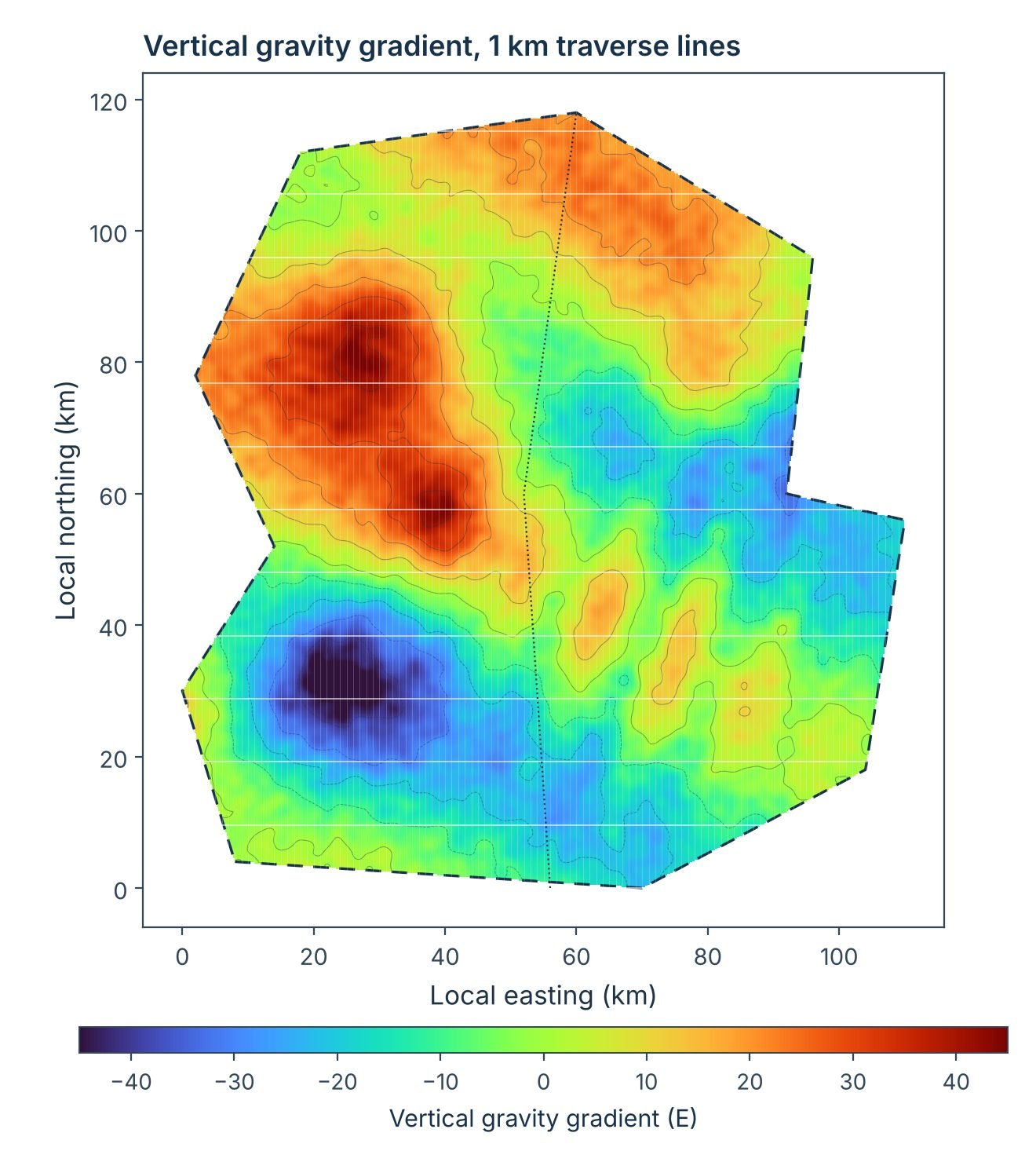
- Map basin structure across two Cooper Basin exploration licences to select the area for follow-up 2D seismic
- Scale
- About 9,000 km² and 10,250 line-km of airborne gravity gradiometry and magnetics at 1 km line spacing
- Our role
- Project management and permitting
- Constraints
- Remote pastoral country across several landholdings, joint-venture approvals and the regulatory notification period
- Outcome
- Flown in 14 production flights over ten days with no data-quality issues
- Deliverables
- Activity notification, environmental assessment, landholder notices, programme schedule and seismic follow-on plan
Tendering, landholder notices, heritage clearance and approvals for the follow-up seismic were planned alongside the airborne survey.
Dynamite 2D seismic — New Zealand
- Objective
- Higher-fold, longer-offset 2D to define structural closure over two oil and gas leads where existing 3D coverage was incomplete or low fold
- Scale
- Two parallel 10 km lines, 800 buried nodes all live, 400 dynamite shot points from 402 drilled holes
- Our role
- Project management and acquisition delivery
- Constraints
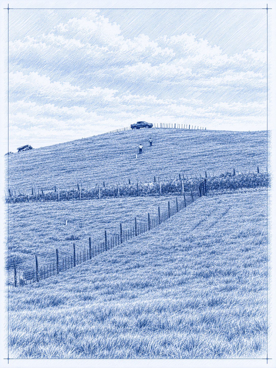
- Steep dairy and bush country unsuited to vibrators; nodes hand-carried without vehicle access
- Outcome
- All shots recorded in two days with no misfires, good energy to far offsets and lines fully restored
- Deliverables
- Drilling and loading programme, nodal acquisition and testing, line restoration, acquisition and operations reports
Buried nodes and autonomous source controllers let two shooting crews record the whole programme without a recording truck.
Experience relevant to your next project
Tell us your objectives and operating conditions so we can discuss the most relevant experience and support.