
Services
The right support at each stage.
Engage ClearSeis for a defined technical task or coordinated support across your seismic programme. We connect survey objectives with approvals, practical delivery and the data needed for interpretation.
01
Survey design and feasibility
Survey designs shaped by the geological target and the realities of field delivery.
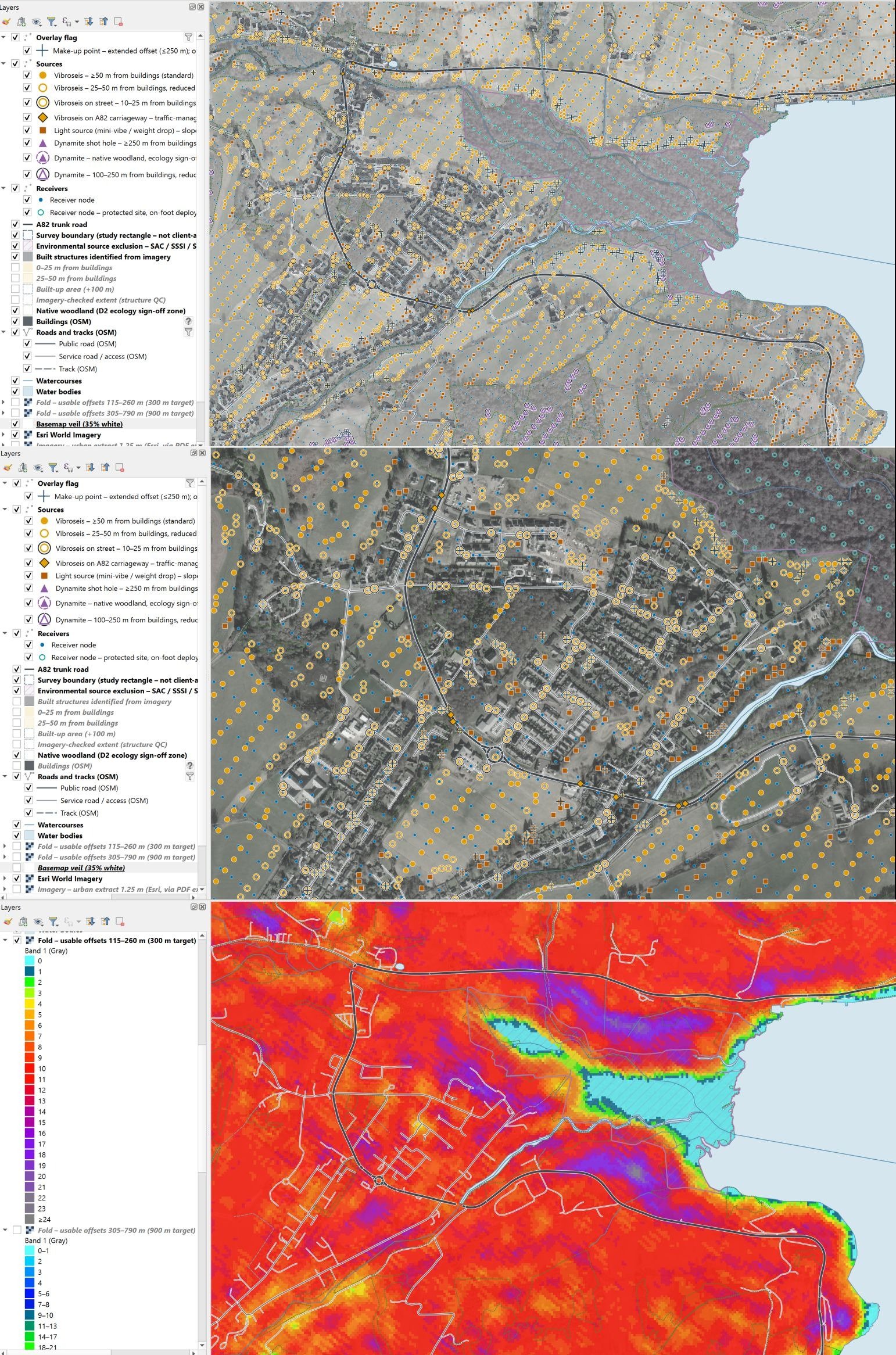
We develop and analyse 2D and 3D seismic survey designs, balancing imaging objectives with terrain, access, source options and acquisition cost—from initial feasibility to field-ready layouts and as-acquired review.
- Design around the target. Review existing data and assess geometry, resolution, fold, offsets and azimuth coverage against the geological objective.
- Make it practical to deliver. Incorporate terrain, environmental exclusions, land access, infrastructure and source constraints into the layout.
- Compare options and cost. Evaluate source and receiver configurations, field productivity and acquisition effort before committing to a design.
- Adapt as conditions change. Review displaced or omitted positions and as-acquired coverage, identifying where redesign or agreed departures are needed.
From difficult-access terrain to urban and infrastructure corridors, we shape surveys around real operating conditions. This includes source selection, vibration constraints, access logistics and near-surface requirements, with refraction and tomography layouts where appropriate.
02
Permitting, approvals and land access
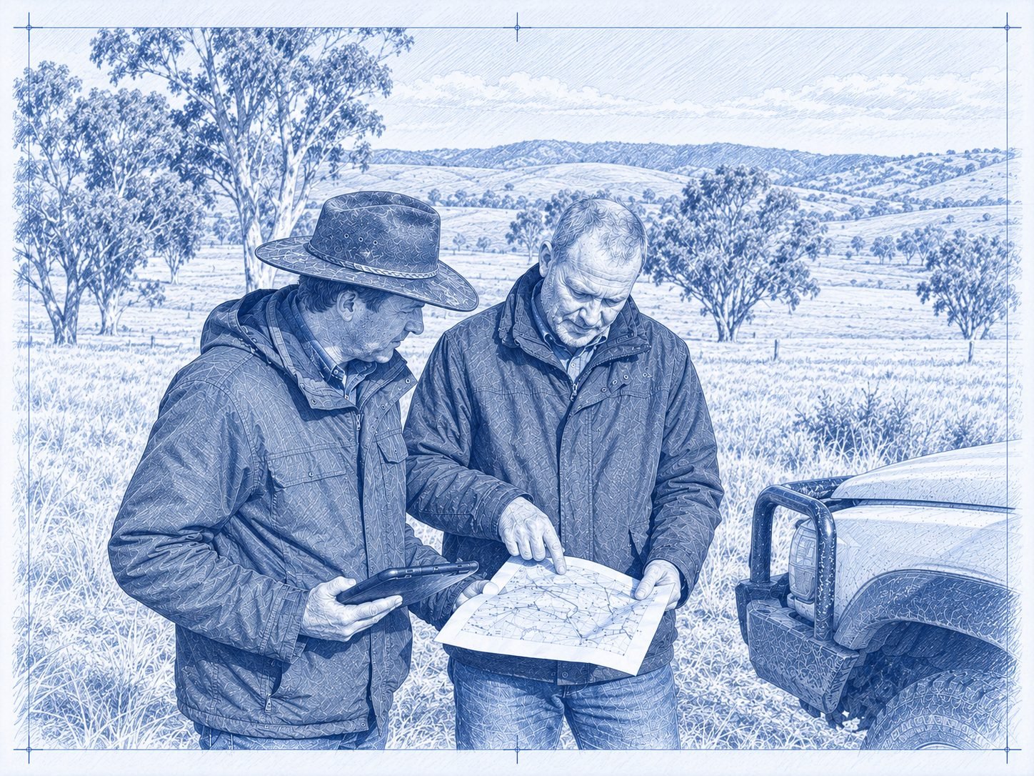
We build the approvals and access programme alongside the survey design. Requirements are established for the actual location and methods, with local planning, environmental and other specialists engaged where needed.
- Review constraints and coordinate the approvals strategy, submissions and specialist studies.
- Plan engagement with authorities, landowners, occupiers and affected communities.
- Coordinate access agreements, crop and seasonal restrictions, compensation and reinstatement requirements.
- Translate consent conditions and exclusions into maps, field instructions and readiness checks.
03
Client-side project management
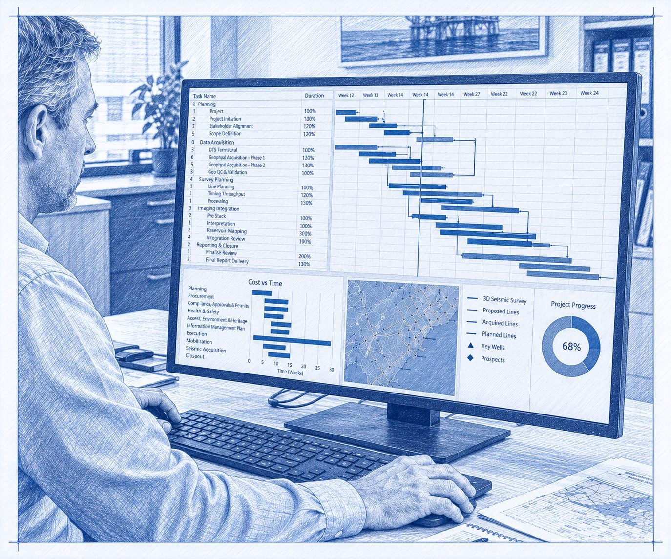
ClearSeis provides the coordination and controls needed to manage technical, commercial and field interfaces. We establish the delivery plan, track progress and make changes and decisions visible to the client.
- Develop scopes, tenders, bid evaluations and contractor recommendations.
- Establish schedules, budgets, responsibilities and mobilisation plans.
- Monitor contractor progress, production, variations, risks and forecasts.
- Coordinate field assurance, reporting, reinstatement and close-out.
04
Seismic processing and interpretation
Processing and interpretation shaped around the geological question, with decisions made visible to you.
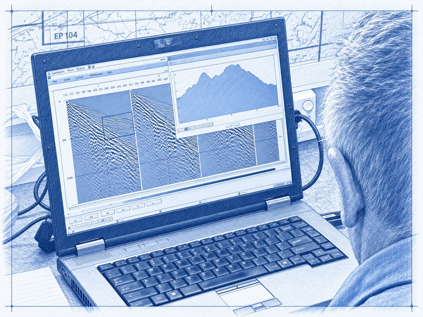
We process and interpret 2D and 3D seismic data from new acquisition and legacy surveys. Parameters are tested and agreed with you before production, and the processing report records what was done and why.
Data review and testing
Field data, geometry and observer reports checked and loaded. Key steps tested on representative lines and reviewed with you before production processing.
Processing and imaging
Noise attenuation matched to the source type, refraction and residual statics, amplitude correction and deconvolution, velocity analysis, stacking and pre-stack time migration, with depth imaging where structure requires it.
Interpretation
Structural interpretation and mapping of key horizons and faults, integrating existing seismic, well and geological information, with time-to-depth conversion using the available control.
Deliverables and technical review
Test panels and progress shared at agreed review points; agreed datasets delivered with a processing report. Also available: field QC and preliminary stacks during acquisition, reprocessing and merging of legacy surveys, and near-surface refraction and tomography.
Where another provider processes your data, we can review their sequence, tests and deliverables independently on your behalf—see technical assurance and QC.
05
Independent technical assurance and QC
Where another provider undertakes the work, ClearSeis can provide independent technical review on the client's behalf. We assess the proposed methods, test results and deliverables against the agreed objectives and specifications.
- Review survey designs, technical tenders and acquisition parameters.
- Monitor field data quality and investigate departures from specification.
- Review processing sequences, parameter tests and interim results.
- Assess legacy data and source performance before reprocessing or new acquisition.
- Check final deliverables and document recommendations for client acceptance.
Environmental monitoring and spatial support
We support environmental baseline recording, repeat monitoring and reinstatement review using spatial analysis and project records. Drone-based mapping and GIS change detection can be included where appropriate to the project and agreed scope.
Acquisition delivery when required
For suitable projects, ClearSeis also provides acquisition delivery. Our completed Caribbean geohazard and South African helium programmes demonstrate this capability.
The engagement scope makes clear whether we are providing client-side oversight or delivering the work, with responsibilities and technical acceptance arrangements agreed at the outset.
How we manage your project
Our integrated management approach connects technical delivery with approvals, land access, safety, environmental requirements and project controls.
Define the work
Establish objectives, responsibilities, scope, schedule and budget.
Prepare for delivery
Identify risks, confirm requirements and check contractor and field readiness.
Track and review
Monitor progress, costs, quality and changes, with clear reporting and action ownership.
Close out
Complete records, address outstanding actions and capture lessons for future work.
The system is scaled to the scope and risk of the engagement. Client, contractor and authority responsibilities remain explicit throughout.
Tell us what support you need
One service, a particular project stage or a coordinated programme—we can help define an appropriate scope.